
Community History Project: c/o Ed Janiszewski, edjan@teksavvy.com
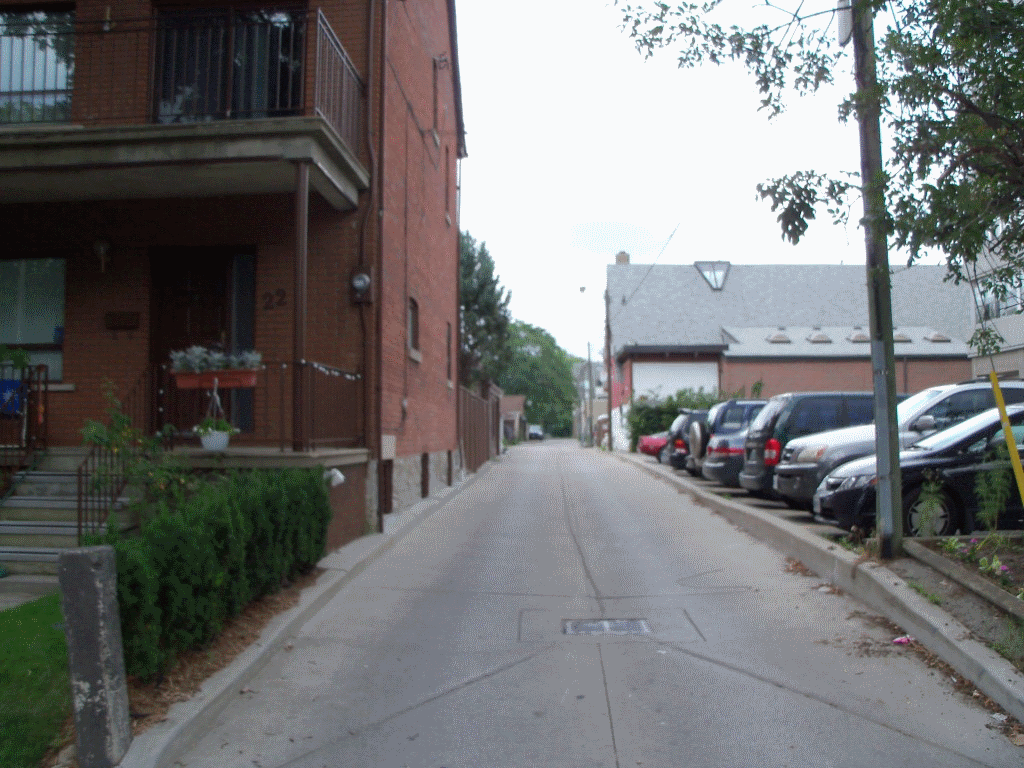
Described Location: Bound by: Barton, Markham, Follis and Bathurst. Runs: North South between Barton and Follis.
 |
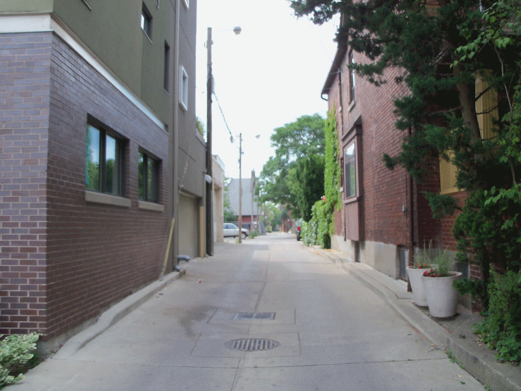 |
| At Barton looking North | At Follis looking South |
George Crookshank (1773- 1859) was a civil servant in charge of the military Commissary, a politician and businessman. In 1797 he had received a crown grant of 1,200 acres, of which part became the Crookshank estate of some 330 acres west of Crookshank's Lane (Bathurst Street). It connected his property and home by the lake to his later holdings north to the escarpment, now Davenport Road. In 1856 and 1857 he and his trustees were marketing lots in the subdivision he named Seaton Village in honour of his employer, Lord Seaton, Sir John Colborne, Lieutenant-Governor of Upper Canada from 1828 to 1836. He was appointed to the Legislative Council in January 1821, which gave him a designation as "Honourable," and he remained a member until the union of Upper and Lower Canada in 1841.
A full biography can be accessed at:
http://www.biographi.ca/009004-119.01-e.php?&id_nbr=3851
See also: http://www.lostrivers.ca/points/crookshank.htm
Heritage Considerations for Seaton Village: Part II Plan, written by the Community History Project, 1992.
An alternately spelled, Cruikshank Ave. exists in the Danforth and Pape area, and would most probably, prevent using Crookshank's Lane. Naming the lane, "Old Crookshank's Lane", or full name, George Crookshank's Lane, may be accepted. The suggested lane is just west of Bathurst, and closest to the original trail. These options would be the closest to the historic connection to Seaton Village.